

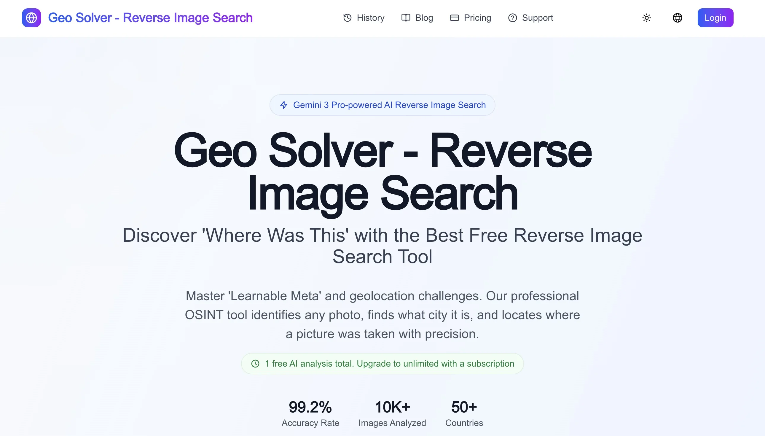
GeoSolver, also called Reverse Image Location, is a browser-based AI-assisted photo geolocation tool. It uses roads, buildings, vegetation and visible text to suggest where a photo or screenshot may have been taken, with reasoning for a person to check. Its uses include public-location verification, GeoGuessr learning and travel-photo research. Treat the result as a hypothesis requiring independent evidence.
Homepage screenshot supplied by the vendor. Model, accuracy and usage claims in the image are vendor statements, not our test results. Check current account prompts for free access.
What clues it examines
The official OSINT guide describes road markings, guardrails, utility poles and traffic signs, alongside roofs, paving, vegetation, soil color and terrain. Readable languages, shop signs and road signs can narrow the search. Because the workflow uses visible surroundings, screenshots without EXIF or GPS metadata can serve as inputs.
This has a different purpose from finding copies of an image online. Reverse image search looks for indexed matches; GeoSolver develops a geographic hypothesis from the scene. An unindexed image may still contain useful clues, but sparse evidence or similar-looking regions can lead to an incorrect answer.
Start with one upload
- Choose a public-location photo you have permission to use and check for private addresses or sensitive information.
- Upload it on the website and read the proposed area and clues, rather than relying only on coordinates or confidence.
- Record concrete signs, road directions, terrain and building features, checking whether they support each other.
- Compare roads, coastlines, hills and building patterns against maps, Street View or satellite imagery.
- Check local public references and separate confirmed findings from remaining uncertainties.
For example, a travel photo containing a road and hillside could help narrow a map search through road curvature and terrain, followed by an independently identifiable junction or public landmark. A generic road marking should not be the sole basis. This is a workflow example, not a result from our own tool test.
Pricing and free access
The submitting representative explicitly states that there is one free AI analysis in total, with paid subscriptions required afterward. The supplied official screenshot carries the same one-time notice. The current homepage uses free-preview and full-result unlock wording; check the account interface for what is actually available. This is neither unlimited free access nor a daily or monthly replenishing free tier.
The website offers monthly and annual plans. Check the current pricing page and checkout for amounts, analysis limits, fair-use conditions and billing terms. An annual price expressed per month does not mean monthly billing. If you only need to research one photo occasionally, assess whether the free experience meets that need before subscribing.
Chinese interface and mainland China use
The website lists English, German, Simplified Chinese, French, Polish and Norwegian language options. A Chinese interface can make reading easier, but does not guarantee accurate recognition of all text within an image. Mainland China connectivity, registration and payment have not been tested, so direct access and successful payment cannot be promised.
Assessing a location hypothesis
The official guide places an AI result at the start of an evidence chain, followed by visible-clue checks, maps and local references. Cropped, mirrored, heavily edited, outdated or AI-generated images can mislead the analysis. Several plausible clues can still point to the wrong region. A confidence number is not an independently measured success rate, and precise coordinates are not guaranteed.
We recommend evaluating it if you are willing to check each clue as part of research or geographic learning. For an image's original source, begin with reverse image search. With an original camera file, check metadata first. For a proposed shooting location, compare GeoSolver's clues with maps. These methods can complement each other; a single AI answer cannot replace verification.
Usage boundaries
The official OSINT guide focuses on public-location research, learning and verification. It warns against tracking private individuals, identifying homes or exposing sensitive locations. Review asset rights and the privacy policy before uploading. Geographic estimation does not establish identity recognition or any verified privacy-compliance certification.
This listing does not classify the product as open source or API-enabled: the public references do not establish either capability. If integration, self-hosting or batch research matters, confirm those conditions with the vendor rather than inferring a developer interface from browser uploads.